Lower Austria
(Niederösterreich · النمسا السفلى · Ніжняя Аўстрыя)Federal State · Administrative region
State capital: Sankt Pölten
Cities & Towns
Top 4916 placesLower Austria covers 19 195 km² , divided into 24 districts, with Sankt Pölten as its state capital. Around 1 703 803 people live here, giving a population density of 89 per km² Click a district on the map to open its page.
4886 more places in Lower Austria
Maps & Downloads
SVG and PNG, 600 px
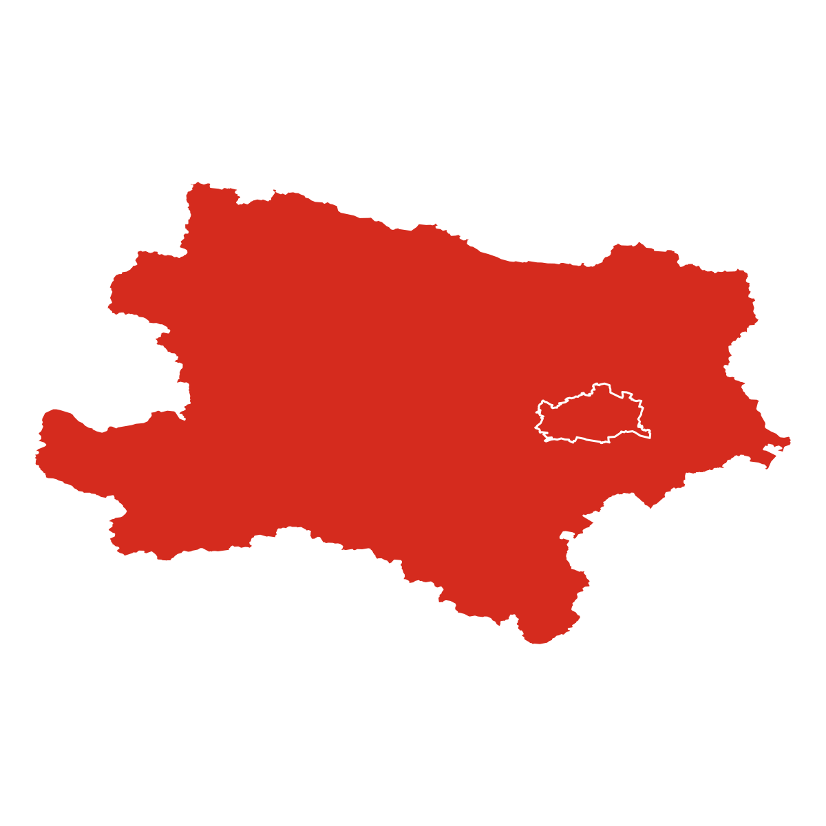
Lower Austria federal state map with district boundaries, Austria
State boundary with all district borders

Austria map with Lower Austria federal state highlighted
All 9 federal states, this one highlighted

Districts
24 districtsLower Austria is split into 24 districts. The largest is Bezirk Zwettl at 1 400 km², and the smallest is Krems an der Donau at 52 km² Bezirk St. Pölten has the highest building count in OSM, with 85 755 recorded structures.
| District | Population | Area (km²) | Buildings | Postcodes | |
|---|---|---|---|---|---|
| Bezirk Zwettl | 58 830 | 1 400 | 34 530 | 34 | Open |
| Bezirk Mistelbach | 82 601 | 1 293 | 76 038 | 48 | Open |
| Bezirk St. Pölten | 134 029 | 1 289 | 85 755 | 61 | Open |
| Bezirk Gänserndorf | 101 969 | 1 273 | 77 629 | 45 | Open |
| Bezirk Amstetten | 106 303 | 1 187 | 66 371 | 39 | Open |
| Bezirk Neunkirchen | 94 118 | 1 151 | 64 411 | 40 | Open |
| Bezirk Scheibbs | 52 358 | 1 024 | 25 328 | 30 | Open |
| Bezirk Melk | 83 845 | 1 015 | 51 291 | 45 | Open |
| Bezirk Hollabrunn | 53 634 | 1 011 | 54 179 | 37 | Open |
| Bezirk Wiener Neustadt | 57 971 | 973 | 51 691 | 40 | Open |
| Bezirk Lilienfeld | 28 508 | 933 | 18 890 | 22 | Open |
| Bezirk Krems | 53 726 | 923 | 54 250 | 36 | Open |
| Bezirk Gmünd | 45 455 | 787 | 34 119 | 23 | Open |
| Bezirk Horn | 34 163 | 784 | 28 596 | 26 | Open |
| Bezirk Baden | 153 560 | 754 | 68 156 | 36 | Open |
| Bezirk Tulln | 108 094 | 734 | 71 786 | 34 | Open |
| Bezirk Bruck an der Leitha | 72 191 | 704 | 60 523 | 33 | Open |
| Bezirk Waidhofen an der Thaya | 33 263 | 669 | 25 515 | 21 | Open |
| Bezirk Korneuburg | 75 886 | 662 | 61 769 | 25 | Open |
| Bezirk Mödling | 99 338 | 278 | 48 777 | 24 | Open |
| Waidhofen an der Ybbs | 10 839 | 131 | 6 517 | 2 | Open |
| St. Pölten | 90 054 | 108 | 23 873 | 7 | Open |
| Wiener Neustadt | 38 481 | 61 | 16 311 | 4 | Open |
| Krems an der Donau | 34 587 | 52 | 13 554 | 3 | Open |
Postcodes
619 postcode areasLower Austria has 619 postcode areas, covering roughly 199 120 km² and 6 494 401 mapped buildings. Postcodes in Lower Austria start with 2 / 3 / 4 / 8 / 1 / 7 (covering 2xxx, 3xxx, 4xxx, 8xxx, 1xxx, 7xxx), placing the state in these Austrian postal zones. The most built-up postcode is 1210 (Floridsdorf), with around 21 343 buildings. The map shades each postcode area by code number, so you can see at a glance how the Lower Austria postal zones are laid out geographically.
| # | Code | Name | Buildings | Population | Area km² |
|---|---|---|---|---|---|
| 1 | Floridsdorf | 21 343 | 174 767 | 44.34 | |
| 2 | Liesing | 17 061 | 141 335 | 33.61 | |
| 3 | Penzing | 14 540 | 172 108 | 41.67 | |
| 4 | Wiener Neustadt | 11 595 | 30 373 | 60.94 | |
| 5 | Kahlenbergerdorf | 10 387 | 102 226 | 25.42 | |
| 6 | St. Pölten | 9 168 | 45 644 | 55.31 | |
| 7 | Klosterneuburg | 8 933 | 318 402 | 76.24 | |
| 8 | Krems an der Donau | 6 752 | 24 513 | 54.23 | |
| 9 | Baden | 6 673 | 26 336 | 39.06 | |
| 10 | Perchtoldsdorf | 6 493 | 3 295 | 12.58 | |
| 11 | Gerasdorf bei Wien | 5 587 | 161 897 | 40.14 | |
| 12 | Neunkirchen | 5 556 | 19 239 | 52.68 | |
| 13 | Strasshof an der Nordbahn | 5 462 | 7 419 | 11.7 | |
| 14 | Hollabrunn | 5 311 | 7 482 | 115.36 | |
| 15 | Amstetten | 4 866 | 9 018 | 47.58 | |
| 16 | Groß-Enzersdorf | 4 777 | 12 150 | 89.83 | |
| 17 | Ternitz | 4 679 | 12 021 | 93.56 | |
| 18 | Leobendorf | 4 592 | 4 925 | 32.82 | |
| 19 | Stockerau | 4 576 | 14 192 | 37.46 | |
| 20 | Mistelbach | 4 512 | 16 362 | 131.61 |
Lower Austria has 18396 mapped postal facilities: 3224 post offices, 13141 post boxes, 2031 parcel lockers. Osterreichische Post runs an extensive network of branches and automated parcel stations across the state.
Transport
60 lines, 252 routesClick a route on the map to see its details.
Lower Austria has 5750.6 km of public transport routes across 60 lines and 252 services, run by 21 operators.
Full transport breakdownPopulation and Building Density
by municipality (Gemeinde borders)Hover over a municipality to see its figures.
Heraldry
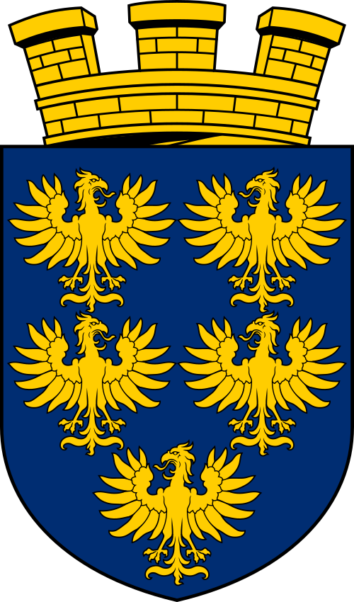
Official heraldry, free to downloadThese are the official heraldic symbols of Lower Austria. The images come from Wikimedia Commons and can be downloaded below in SVG (scales to any size) or PNG (600 x 600 px).




Questions about Lower Austria
Quick answersWhat is the state capital of Lower Austria?
The state capital of Lower Austria is Sankt Pölten, with around 59 767 residents.
How many people live in Lower Austria?
Around 1 703 803 people call Lower Austria home, spread across 19 195 km².
How big is Lower Austria?
Lower Austria takes up 19 195 km², which is roughly 7 411 square miles.
Is Lower Austria a federal state or a city?
Lower Austria is a federal state (Bundesland), one of 9 member states of the Republic of Austria. Each one has its own government, parliament, and constitution. Its state capital is Sankt Pölten.
How many districts does Lower Austria have?
Lower Austria is divided into 24 districts (Bezirke). These include Bezirk Zwettl, Bezirk Mistelbach, Bezirk St. Pölten, Bezirk Gänserndorf, Bezirk Amstetten and 19 more , each forming a second-level administrative subdivision of the state.
What postal codes does Lower Austria use?
Lower Austria uses 619 postal code areas. Austrian codes are always 4 digits long. Codes here start with 2, 3, 4, 8, 1, 7.